10 Best Point Cloud Software for Effective Data Processing 2023
- October 13, 2023
The way we collect and analyze 3D data has undergone a revolution in recent years thanks to point cloud technology. Point clouds, which are dense sets of points representing the surface of objects or environments, offer incredible potential in various industries, including architecture, construction, engineering, and entertainment.
However, to harness the power of point clouds, you need reliable software that can handle the immense amount of data and provide advanced processing capabilities.
We will examine the top 10 point cloud software options in this article. These tools offer a wide range of features, from data capture and processing to visualization and analysis, enabling professionals to extract valuable insights and make informed decisions.
So, let’s dive into the world of cloud software and discover the perfect solution for your needs.
Autodesk ReCap
Autodesk ReCap is a comprehensive cloud software that provides advanced features for capturing, cleaning, and visualizing point cloud data. It seamlessly integrates with other Autodesk software, such as AutoCAD and Revit, allowing for efficient workflows throughout the design and construction process.
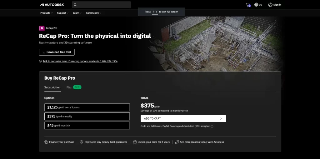
With ReCap, you can import, register, and index point clouds from various sources, including laser scanners and photogrammetry. The software also offers intelligent cleanup tools to remove noise and outliers, ensuring accurate and reliable data.
Additionally, ReCap provides powerful visualization options, such as realistic 3D views and panoramic images, enhancing collaboration and communication among team members.
Pros
- Powerful 3D scanning and reality capture software.
- Compatibility with multiple file formats.
- Accurate point cloud registration and alignment.
- Advanced editing tools for data refinement.
- Automated feature extraction capabilities
Cons
- Occasional stability issues or crashes.
- Compatibility challenges with specific systems.
- Reliance to cloud-based services for collaboration.
Bentley Pointools
Bentley Pointools is a versatile point cloud processing software designed for professionals in the architecture, engineering, and construction industries. It enables you to import, align, and analyze massive point cloud datasets with ease.
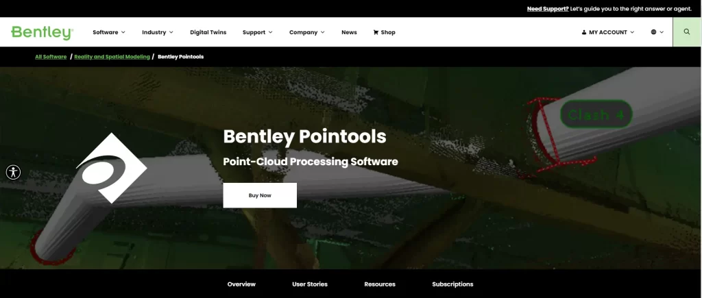
The software supports a wide range of point cloud formats, including LAS, PTS, and E57, allowing for seamless data integration from different sources.
Bentley Pointools offers advanced tools for registration, segmentation, and classification, enabling users to extract meaningful information from point clouds efficiently. Moreover, it’s intuitive interface and comprehensive visualization capabilities enhance the understanding of complex spatial data.
Pros
- Powerful point cloud processing software for visualization and analysis.
- Efficient and fast processing of large point cloud datasets.
- Delivers advanced editing and cleaning tools for point cloud data.
- Provides accurate registration and alignment capabilities.
Cons
- Limited availability compared to other point cloud processing software options.
- The higher learning curve for new users, especially those unfamiliar with Bentley software.
- Pricing may be relatively higher compared to other competing software.
Leica Cyclone
Leica Cyclone is a robust point cloud processing software developed by Leica Geosystems. It provides a complete suite of tools for efficiently managing and analyzing point cloud data captured by laser scanners or photogrammetry.
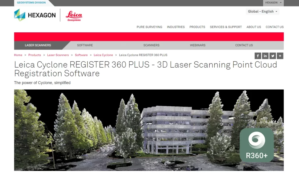
Cyclone offers automated registration and geo-referencing capabilities, reducing the time and effort required for data alignment. The software also includes advanced editing and visualization features, allowing for detailed inspection and measurement of point clouds.
With its powerful analysis tools, such as clash detection and volume calculations, Leica Cyclone is an ideal choice for professionals involved in surveying, construction, and plant design.
Pros
- Comprehensive point cloud processing software.
- Promotes advanced registration and alignment capabilities for precise data integration.
- Provides efficient and fast processing of large point cloud datasets.
Cons
- Pricing may be relatively higher compared to other point cloud processing software options.
- Some advanced functionalities may require additional add-ons or modules.
- Less availability compared to other software options.
Trimble RealWorks
Trimble RealWorks is a versatile point cloud software that offers comprehensive solutions for processing, analyzing, and visualizing 3D data. It supports various point cloud formats and provides advanced registration and alignment tools to merge data from different sources accurately.
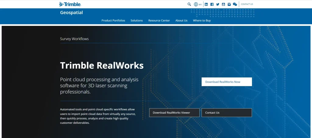
RealWorks also offers powerful modeling capabilities, allowing users to create detailed 3D models from point cloud data. The software’s intuitive interface and customizable workflows make it suitable for professionals in diverse industries, including architecture, civil engineering, and forensics.
Pros
- Efficient and fast processing of large point cloud datasets.
- Modern capabilities for accurate data integration.
- Provides robust editing and cleaning tools for point cloud data.
- Supports various file formats, ensuring compatibility with different hardware and software sources.
Cons
- Compatibility issues with specific hardware or software systems may arise.
- Occasional stability issues or bugs may affect the software’s performance.
- Reliance on the Trimble software ecosystem may limit interoperability with other software platforms.
CloudCompare
An open-source point cloud processing program called CloudCompare offers a variety of tools for working with and examining 3D point cloud data. It supports various data formats and offers advanced functionalities, such as data registration, filtering, and segmentation.
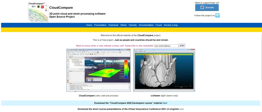
CloudCompare’s robust algorithms ensure accurate and efficient data processing, making it a popular choice among researchers, scientists, and hobbyists.
Additionally, the software’s visualization capabilities enable users to generate high-quality renderings and animations for presentations and reports.
Pros
- Free and open-source point cloud processing software.
- Advanced point cloud registration, alignment, and filtering capabilities.
- Provides a wide range of editing and cleaning tools for point cloud data.
- Supports various file formats, ensuring compatibility with different hardware and software sources.
- Platform-independent, available for Windows, macOS, and Linux.
Cons
- The steeper learning curve for new users, especially those without prior experience in point cloud processing.
- User interface and workflow may not be as intuitive compared to commercial software.
- Limited dedicated technical support compared to commercial software options.
- Performance may vary depending on the size and complexity of the point cloud dataset.
Faro SCENE
Faro SCENE is a powerful point cloud software designed specifically for professionals working with 3D laser scanning data. It provides an entire toolkit for effectively capturing, processing, and managing point clouds.
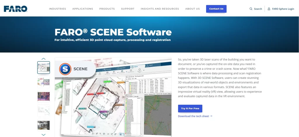
SCENE supports a wide range of industry-standard file formats and provides advanced registration and alignment features for accurate data integration. The software’s comprehensive visualization options, including panoramic images and virtual walkthroughs, enhance collaboration and enable effective communication among team members.
Faro SCENE is widely used in applications such as architecture, forensics, and industrial plant design.
Pros
- Effective point cloud processing software with a focus on laser scanning and 3D documentation.
- Efficient and fast processing of large point cloud datasets.
- Provides robust editing and cleaning tools for point cloud data.
- Supports various file formats, ensuring compatibility with different hardware and software sources.
Cons
- May be harder for new users, especially those unfamiliar with Faro software.
- Pricing may be relatively higher compared to other point cloud processing software options.
- Some advanced functionalities may require additional add-ons or modules.
PointCab
It is a user-friendly cloud software that focuses on providing efficient workflows for point cloud evaluation and extraction. It offers a range of features for data processing, including automated registration, filtering, and classification.
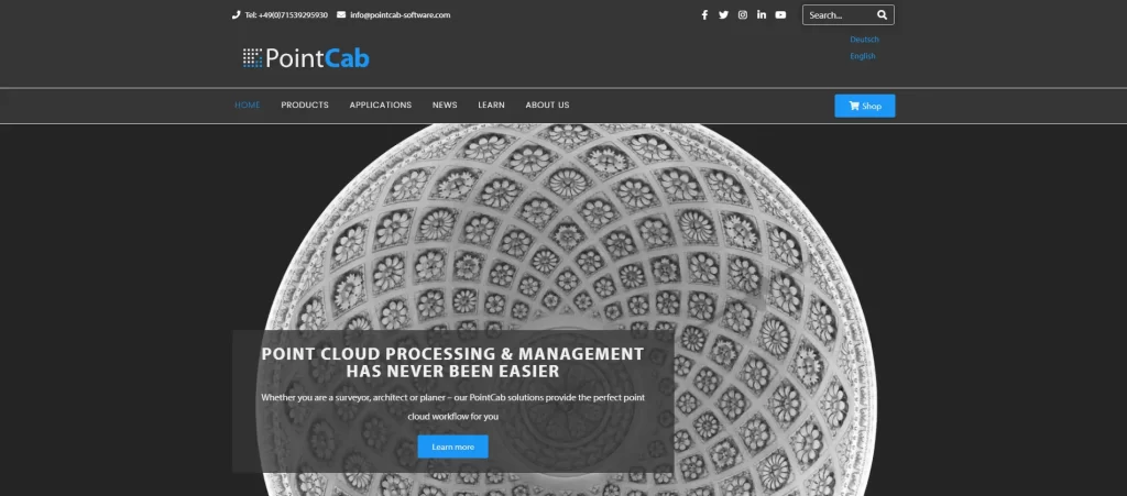
PointCab’s intuitive interface and streamlined tools enable users to extract valuable information from point clouds quickly. The program also seamlessly integrates with CAD software, making data transfer and additional analysis simple.
PointCab is particularly popular among architects, interior designers, and landscape planners for its ease of use and fast results.
Pros
- Efficient and fast processing of point cloud data.
- Enhanced editing and cleaning tools tailored for architectural workflows.
- Supports various file formats, ensuring compatibility with different hardware and software sources.
Cons
- Limited community support and resources compared to more widely used software.
- Compatibility issues with specific hardware or software systems may arise.
- SOccasional stability issues or bugs may affect the software’s performance.
Pix4D
For a leading cloud software that specializes in photogrammetry and drone mapping applications, Pix4D allows users to generate accurate point clouds and orthomosaic maps from aerial images captured by drones or other cameras.
Pix4D offers advanced processing algorithms, enabling automatic point cloud generation and precise georeferencing. The software also provides tools for data editing, analysis, and sharing, making it an excellent choice for professionals in industries such as agriculture, surveying, and environmental monitoring.
Pros
- Powerful photogrammetry software for generating accurate 3D models and maps from aerial and ground imagery.
- Supports a wide range of input data sources, including drones, satellites, and ground-based cameras.
- Offers advanced processing algorithms for efficient and precise reconstruction of 3D models.
- Provides automatic point cloud generation, orthomosaic mapping, and digital surface modeling.
Cons
- Requires powerful computing resources to process large datasets efficiently.
- Processing time can be lengthy for complex or large-scale projects.
- Compatibility issues may arise with certain image formats or hardware configurations.
- Occasional stability issues or crashes may affect the software’s performance.
Agisoft Metashape
Professional-grade photogrammetry software Agisoft Metashape, formerly known as Agisoft PhotoScan, excels at producing dense point clouds from digital images. It provides potent algorithms for texture mapping, dense point cloud reconstruction, and image alignment.
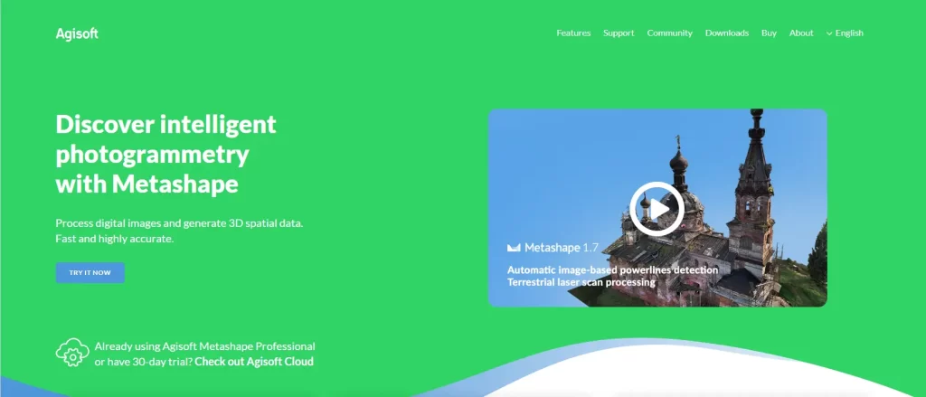
Metashape supports multi-view stereo and structure-from-motion techniques, enabling users to process large datasets efficiently. The software’s robust editing and filtering tools allow for accurate point cloud refinement and analysis. Agisoft Metashape finds applications in fields like cultural heritage documentation, archaeology, and virtual reality content creation.
Pros
- Supports various input data sources, including drones, satellites, and ground-based cameras.
- Advanced algorithms for efficient and precise reconstruction of 3D models.
- Provides a user-friendly interface with intuitive workflows and extensive documentation.
- Offers flexible processing options, including automated and manual workflows.
Cons
- Pricing can be relatively high, especially for commercial or professional licenses.
- Requires powerful computing resources to process large datasets efficiently.
- Processing time can be lengthy for complex or large-scale projects.
- Compatibility issues may arise with certain image formats or hardware configurations.
Rhino3D with RhinoPointCloud
Rhino3D, a popular 3D modeling software, can also handle point cloud data with the help of the RhinoPointCloud plugin. RhinoPointCloud allows users to import, edit, and visualize point cloud data directly within the Rhino environment.
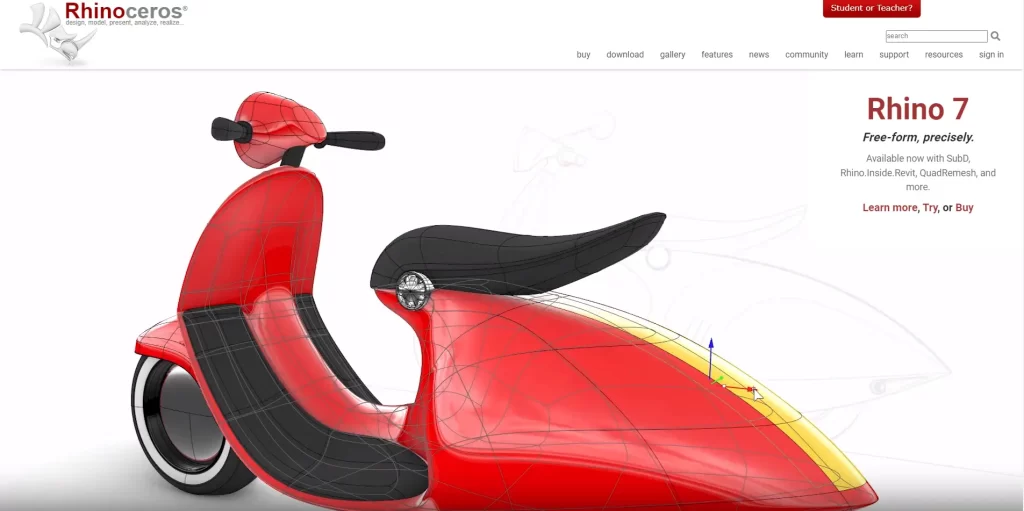
The plugin offers powerful point cloud editing tools, including decimation, smoothing, and filtering, enabling users to clean and optimize the data. Rhino3D’s extensive modeling capabilities further enhance the potential for point cloud utilization in architectural design, industrial design, and manufacturing.
Pros
- Rhino3D is a versatile 3D modeling software with a wide range of modeling and design capabilities.
- The RhinoPointCloud plugin enables efficient handling and processing of point cloud data within the Rhino3D environment.
- Provides accurate point cloud registration and alignment capabilities.
- Supports various file formats, ensuring compatibility with different hardware and software sources.
Cons
- RhinoPointCloud is a separate plugin and may require additional purchase and installation.
- Performance may vary depending on the size and complexity of the point cloud dataset.
- Compatibility issues may arise with specific file formats or hardware configurations.
- Occasional stability issues or bugs may affect the software’s performance.
FAQs on Point Cloud Software
Here are some frequently asked questions (FAQs) about point cloud software:
What are the main applications of point cloud software?
They are used in various industries and applications, including architecture, construction, engineering, surveying, archaeology, virtual reality, and more. It helps professionals work with 3D data, perform measurements, create 3D models, extract features, and analyze spatial information.
How does point cloud software handle large datasets?
They employ various algorithms and techniques to efficiently handle large datasets. These include data compression, level of detail (LOD) representations, octree partitioning, and indexing methods.
Optimizing data storage and retrieval, plus enabling smooth navigation and processing of vast amounts of point cloud data.
What features should I look for in point cloud software?
When selecting these software, it’s essential to consider features such as point cloud registration, filtering and cleaning tools, meshing capabilities, measurement and analysis functions, visualization options, and compatibility with common file formats.
Additionally, look for software that offers intuitive user interfaces and efficient workflows to streamline your tasks.
Can they work with other software or platforms?
Yes, most point cloud software allows interoperability with other software and platforms. They often support common file formats, such as LAS, XYZ, PTS, or OBJ, which can be easily imported or exported to collaborate with other applications like CAD software, BIM tools, or GIS platforms.
Some point cloud applications also offer APIs or SDKs for integrating and customizing.
What hardware requirements do I need?
Depending on the complexity of the point cloud data and the particular software, different hardware may be needed. Generally, working with large point clouds requires a powerful computer with ample processing power, sufficient memory (RAM), and a capable graphics card. It’s advisable to check the recommended specifications provided by the software vendor.
Final Words
Point cloud software plays a crucial role in unlocking the full potential of 3D data captured through laser scanning, photogrammetry, or other technologies. The 10 software options mentioned in this article provide a comprehensive set of tools for processing, analyzing, and visualizing point cloud data, catering to various industries and applications.
Whether you are an architect, engineer, surveyor, or researcher, choosing the right cloud software can significantly impact your productivity and the quality of insights you extract. Consider the specific requirements of your projects, such as data size, processing speed, and analysis capabilities, to determine the most suitable software for your needs.
Embrace the potential of point cloud technology and discover all the opportunities it presents. With the right software at your disposal, you can unleash the potential of 3D data and gain a competitive edge in your industry.
